



1. Import data from local files and cloud storage
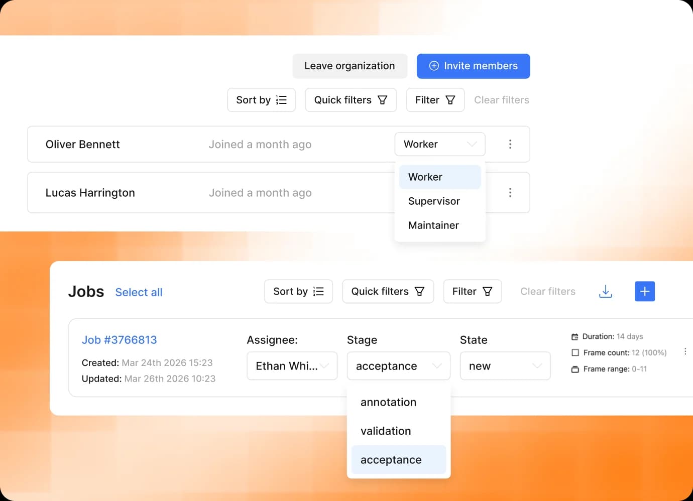
- Upload local datasets and existing annotations
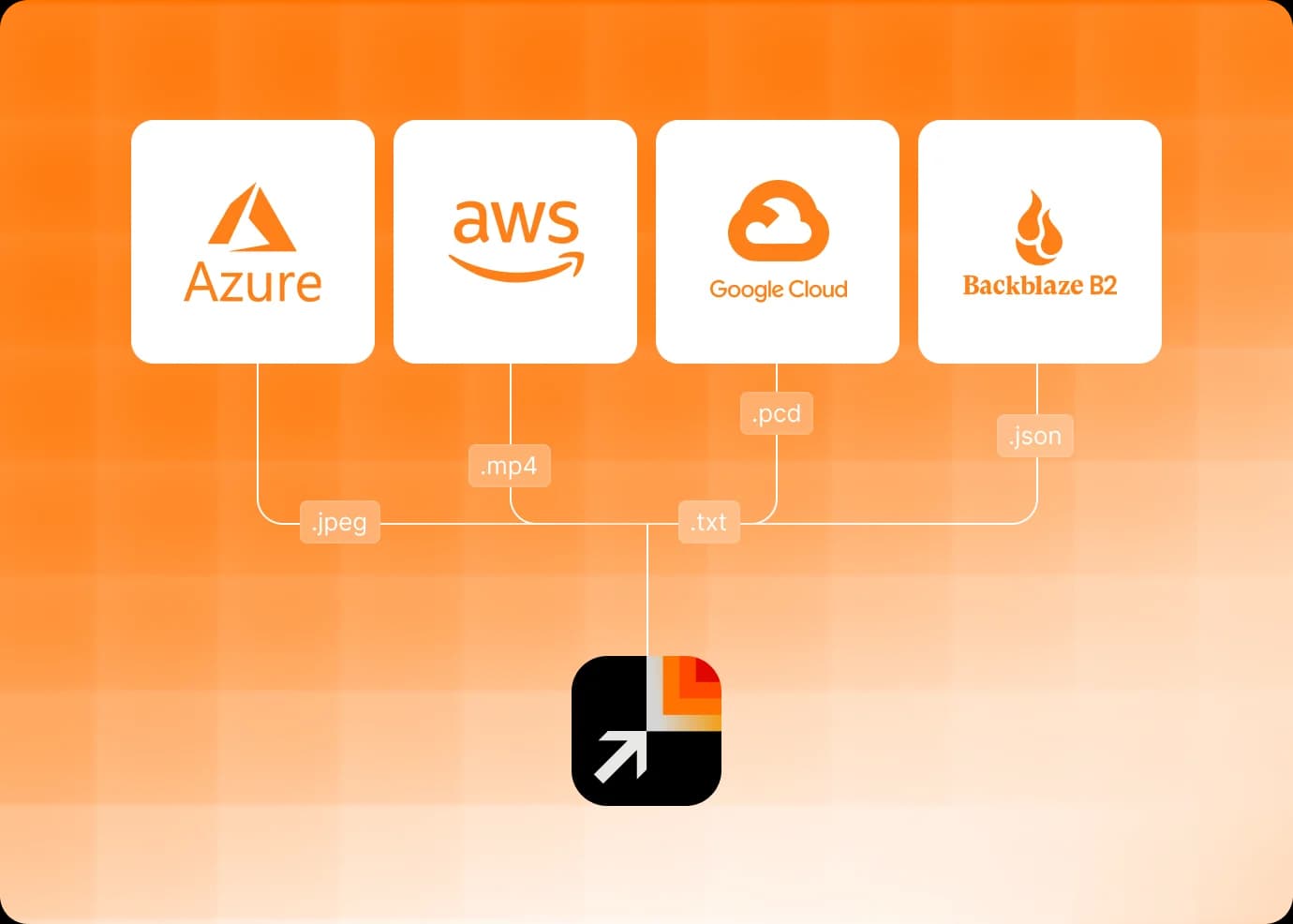
- Connect Amazon S3, Azure Blob Storage, Google Cloud Storage, and other storages
- Use S3-compatible buckets or self-hosted storage
Beyond Vision: CVAT Goes Multimodal and Introduces Audio Annotation. Learn more

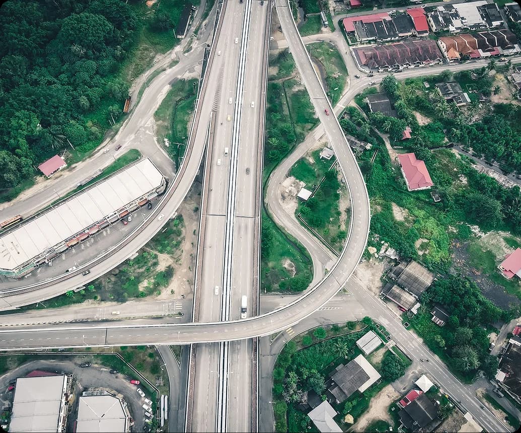
Turn satellite, aerial, and drone imagery into model-ready geospatial datasets for mapping, monitoring, inspection, damage assessment, and change detection.
Need to keep your data in your own infrastructure? Explore CVAT Enterprise
Trusted by ML teams worldwide
Read customer storiesCreate labeled datasets for extracting objects, mapping terrain and infrastructure, monitoring environmental change, and assessing conditions across large geographic areas.
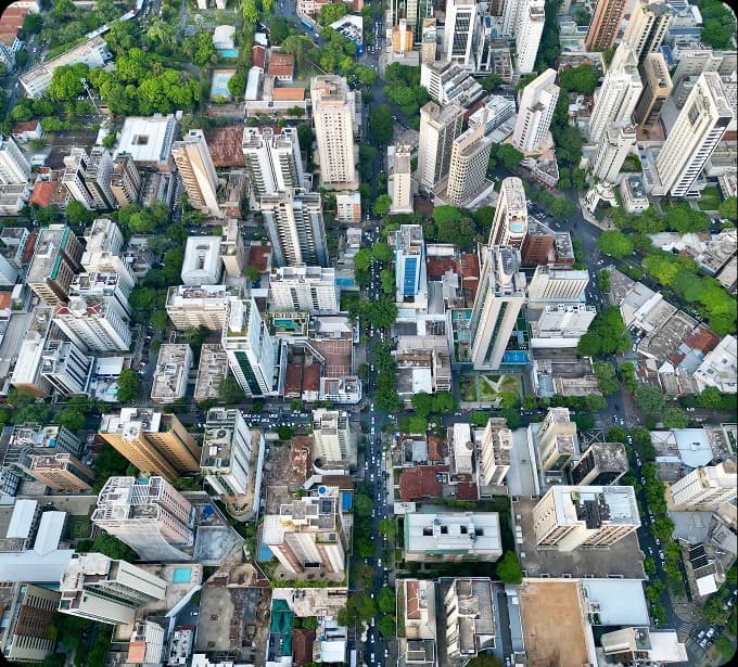
Label buildings, roofs, parcels, and other property features for footprint extraction, valuation, and urban analysis.
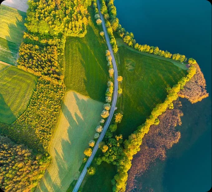
Segment forests, crops, water, roads, terrain, and other surface classes for land-cover mapping and environmental monitoring.
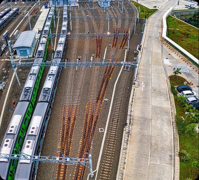
Trace roads, railways, power lines, pipelines, and other assets for mapping, inspection, and maintenance workflows.
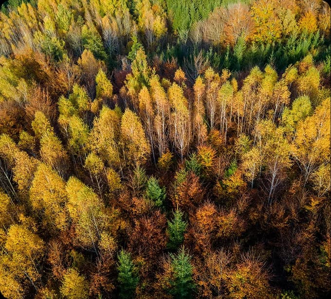
Detect and classify individual trees, map canopy coverage, and monitor vegetation condition and change.
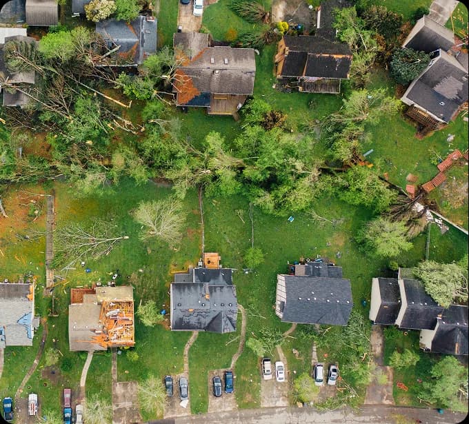
Identify and classify damage to buildings, roads, vegetation, and infrastructure after fires, floods, storms, and other events.
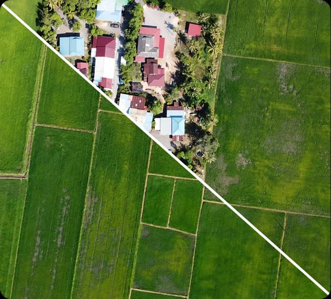
Label changes between imagery captured at different times, including construction, land-use change, vegetation loss, and infrastructure deterioration.
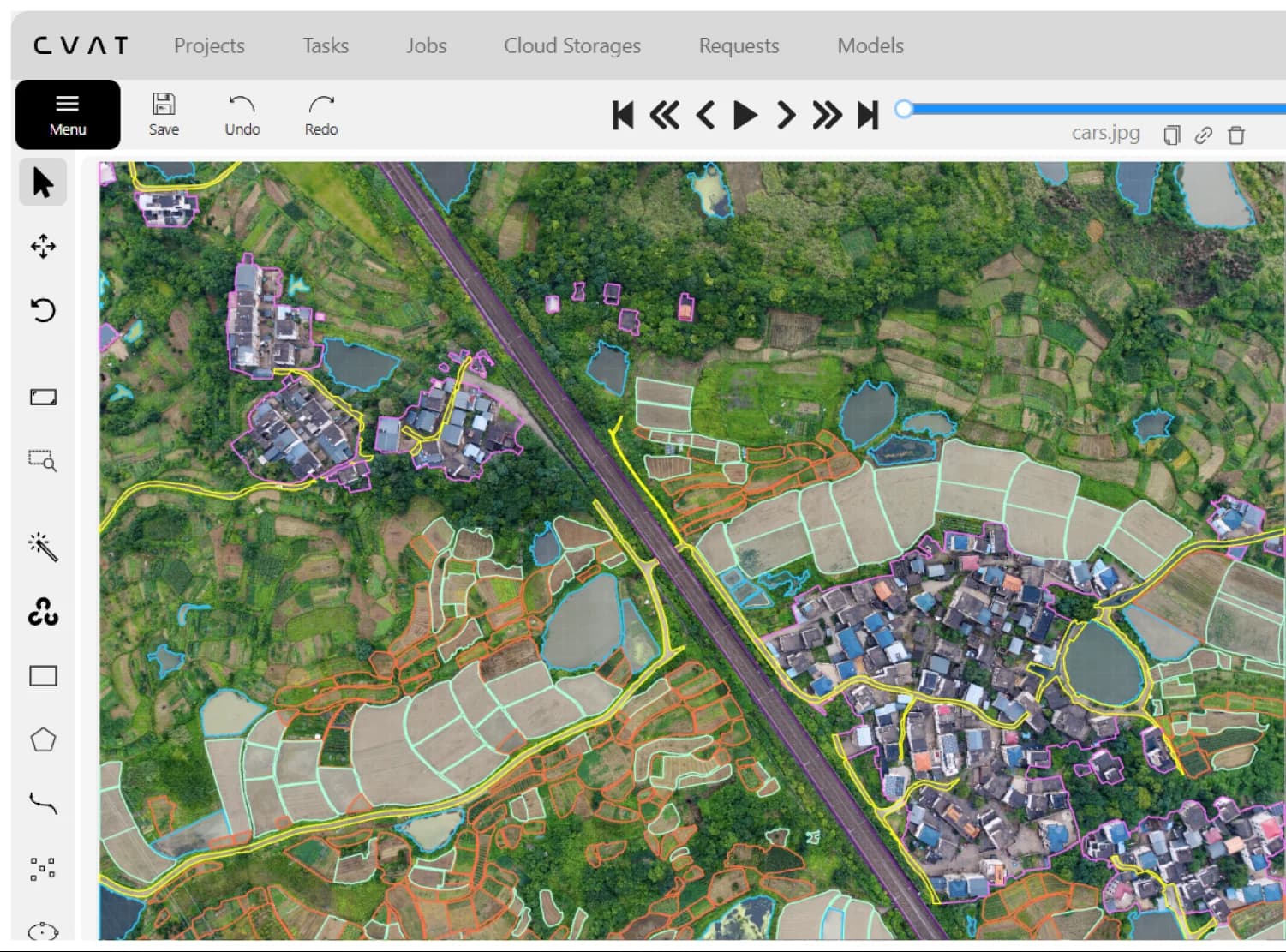
Import aerial, satellite, and drone imagery, annotate complex natural and built features, use model-assisted labeling, coordinate review, and export model-ready datasets from one workspace.
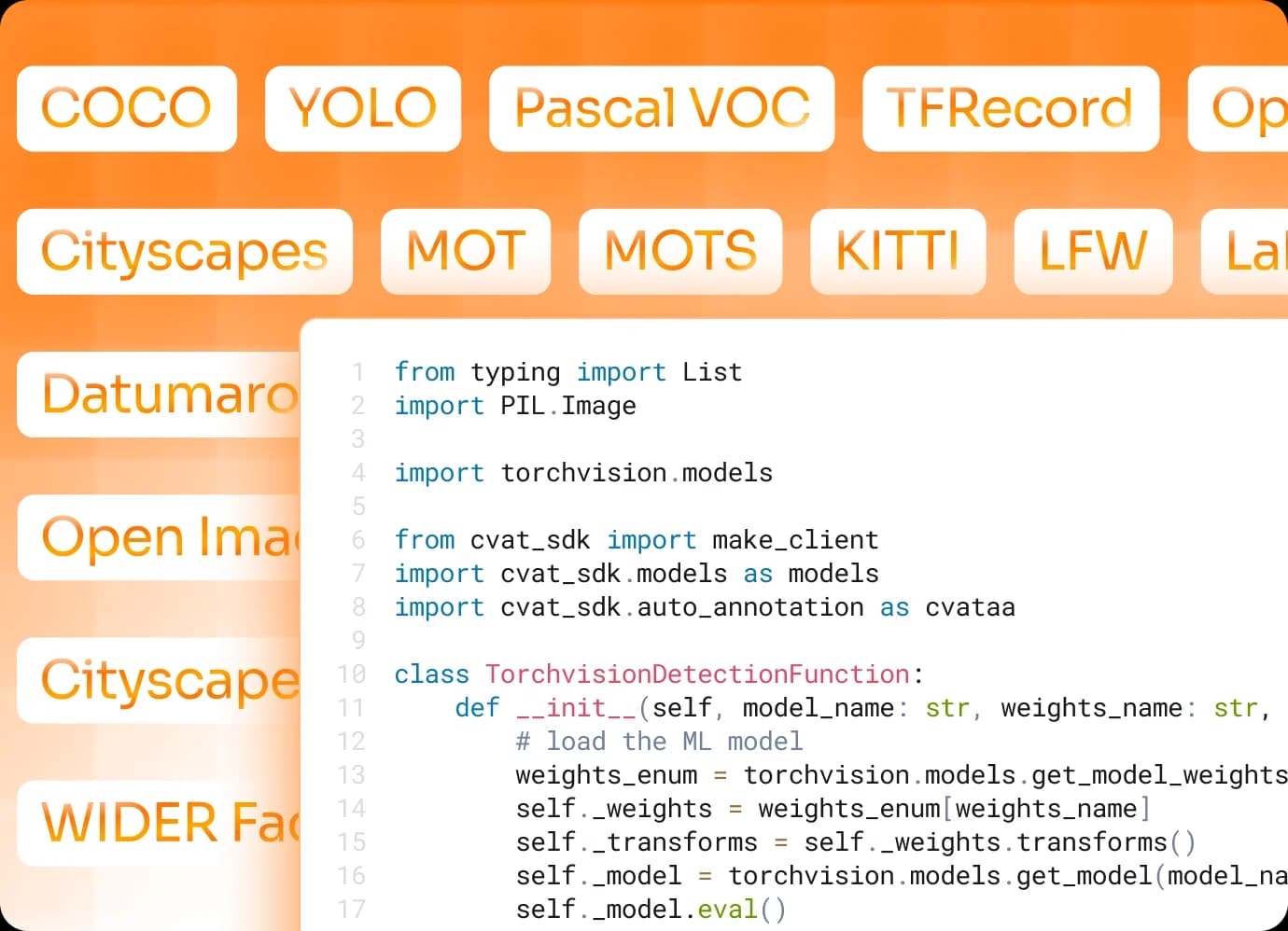
Provide your imagery, label taxonomy, annotation guidelines, and quality requirements. Our project managers, annotators, and validators handle setup, labeling, review, and final delivery.
Label complex spatial features, control where imagery is processed, and scale from pilot datasets to ongoing monitoring programs.
Trace field boundaries, roads, rivers, buildings, and utility networks with polygons, masks, polylines, points, and boxes. Use custom models to pre-label recurring features and refine predictions in CVAT.
Use CVAT Online for a managed workflow, deploy CVAT Enterprise on premises or in a private cloud, or build on the open-source Community edition.
Run annotation with your own team, then add CVAT Labeling Services for seasonal peaks, new regions, or recurring monitoring without moving to another annotation system.
“CVAT helped me build an AI-powered inventory counting solution for warehouse operations. The annotation workflow was efficient, and it made it much easier to create high-quality training data for accurate object detection and counting.”

Sukanya Suman Kalyan
Azure Data Engineer, Deloitte
“We selected CVAT after evaluating several options and determined it was the best fit for our instance segmentation workflows. Features such as automatic bordering and bitmap visualization help us improve annotation quality while maintaining high productivity.”

Jorge Rojas
Ph.D. Candidate & Research Assistant, Purdue University
“SIYTE is an AI-powered intelligence platform connecting cameras, sensors and systems with CVAT playing an instrumental role in supporting our data annotation and model training function. CVAT is a reliable and easy to use tool that genuinely supports how our teams build and refine computer vision models.”

Jamie Gale
Chief Technology Officer, SIYTE
“At Dragonfly AI we help brands measure creative effectiveness of marketing materials e.g. packaging, advertisements etc. using patented AI. CVAT helps us efficiently track attention-critical areas in video ads and feed structured annotation data into our proprietary attention measurement algorithm. The platform is straightforward, reliable, and fits naturally into our workflow.”

Will Champion
Customer Success Executive, Dragonfly AI
“We began our AI journey with CVAT because, at the time, it was the only solution truly bridging the gap between raw data capture and practical model training workflows. Years later, it continues to be a foundational part of our pipeline thanks to its robustness, flexibility, and deep alignment with real-world computer vision development needs.”

Maikel Boerebach
Business Development Manager, AKL
“We chose CVAT for its strong balance of capability and cost control. It allows us to build and manage our annotation workflows without unnecessary overhead.”

Craig Metcalfe
COO/CPO, Illuminex AI
CVAT can be used with satellite, aerial, and drone imagery, video sequences, and 3D point clouds in supported formats, including TIFF images and PCD or BIN point clouds. Teams use it to build training data for land-cover mapping, building extraction, forestry inventory, infrastructure mapping, damage assessment, and change detection.
Fields, forests, water bodies, flood extents, and burn scars are region problems, so polygons and masks carry the boundary. Roads, rivers, railways, and utility lines are better represented as polylines. Trees, poles, buildings, and other discrete assets can use points, bounding boxes, or oriented boxes, with attributes for class, condition, or change type.
CVAT supports common image formats, including TIFF, and can organize large imagery collections into tasks and jobs for parallel annotation. For very large orthomosaics, a practical workflow is to divide the source imagery into manageable tiles, retain each tile’s transform, and merge or reproject the exported annotations downstream.
CVAT’s native annotation format records shapes as x and y coordinates relative to the source image dimensions rather than as geographic coordinates. For georeferenced workflows, keep the CRS and raster transform with the original imagery, then convert exported pixel coordinates back to map coordinates in your preprocessing or postprocessing pipeline.
Yes. Use aligned captures from different dates in separate tasks or display earlier and later captures as contextual images while annotating. Teams can label additions, removals, and boundary changes such as new construction, vegetation loss, flood extent, or infrastructure damage. Previous annotations can also be imported as a starting point when the imagery and schema are compatible.
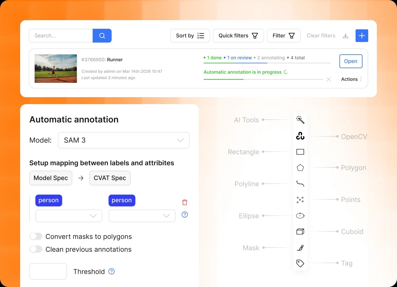
Yes. Import predictions from an existing model or connect a compatible custom model to generate a first pass, then have annotators confirm, correct, or reject the results. Model labels can be matched to the project taxonomy, and detector models can be limited to a region of interest when only part of an image needs processing.
Yes. CVAT supports connected Amazon S3, Azure Blob Storage, Google Cloud Storage, and Backblaze B2 storage. The REST API, Python SDK, and CLI can be used to create tasks, run automatic annotation, monitor processing, and export completed datasets programmatically.
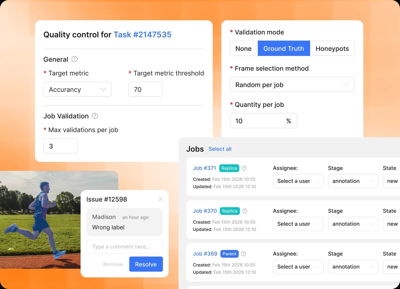
Define labels and attributes at project level so every task uses the same schema for land-cover classes, infrastructure assets, damage categories, and change types. Split the imagery into jobs for parallel work, then use validation stages, Ground Truth jobs, review mode, and quality reports to identify inconsistent or missing annotations before export.
Yes. CVAT Labeling Services can handle project setup, workforce allocation, annotation, review, quality control, and final delivery against your taxonomy, guidelines, and acceptance criteria. This works for one-time mapping backlogs, seasonal surveys, and recurring regional or global monitoring programs.
Yes. CVAT Enterprise supports private-cloud and on-premises deployment for organizations that cannot move sensitive imagery to a public SaaS environment. Enterprise deployments can also use controls such as SSO, LDAP, and audit logs for geospatial data governed by data-residency, public-sector, critical-infrastructure, or contractual requirements.
Manage annotation with your own team or have CVAT deliver a validated dataset for your model.
Free plan available • No credit card required • GDPR & CCPA compliant
From aerial imagery analysis and infrastructure inspection to insurance damage assessment, thousands of ML teams trust CVAT for labeling and managing their training data.
Didn’t find your use case? Contact us to discuss your project.