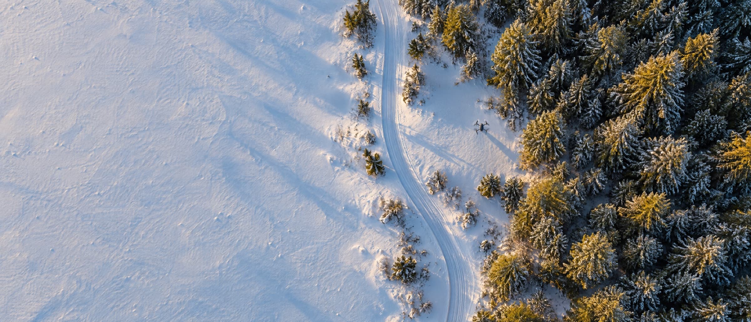

“We annotate forestry imagery to deliver world-class tree analysis worldwide, and CVAT has been key to making that possible at scale.”
Beyond Vision: CVAT Goes Multimodal and Introduces Audio Annotation. Learn more

CVAT turns satellite, aerial, and drone imagery into validated training data for mapping, monitoring, and inspection, trusted by teams like Arboair.
Use cases
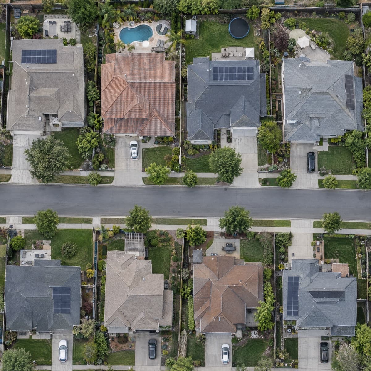
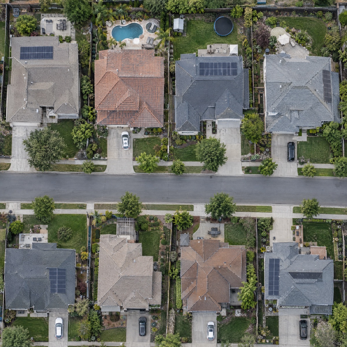
Outline roofs, footprints, and parcels across neighborhoods and cities.
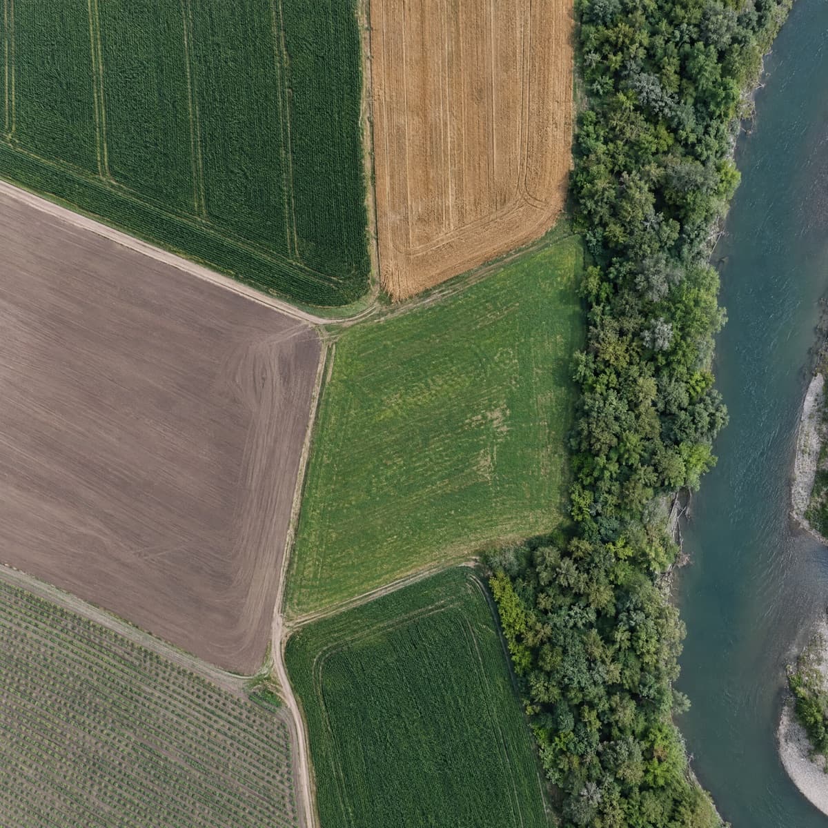
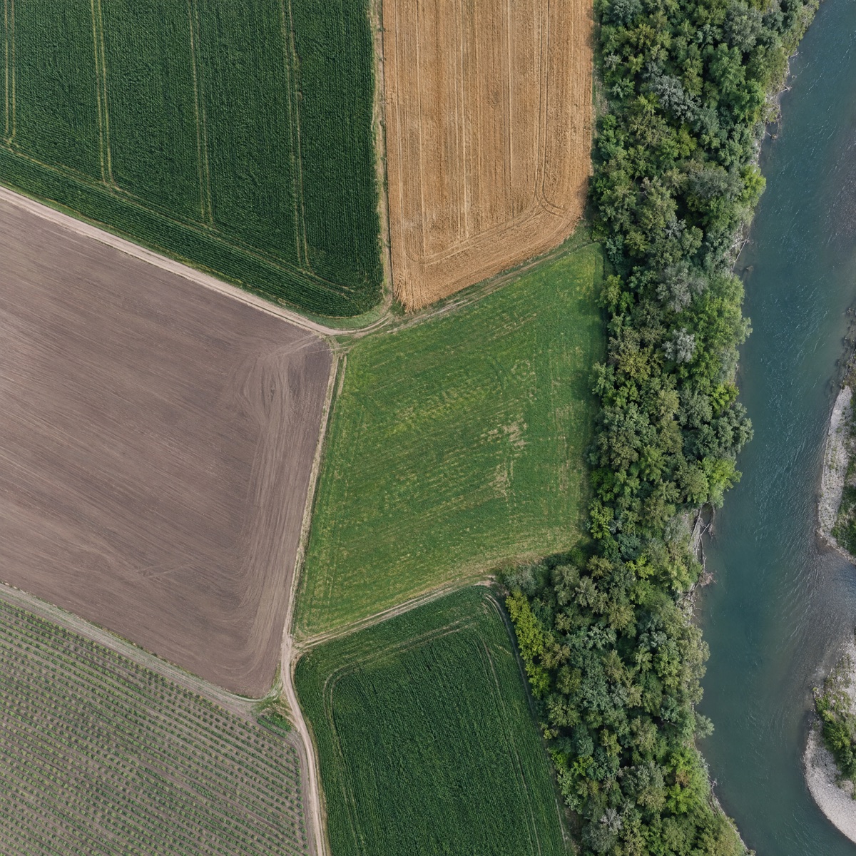
Segment fields, forests, water, and bare ground at scale.
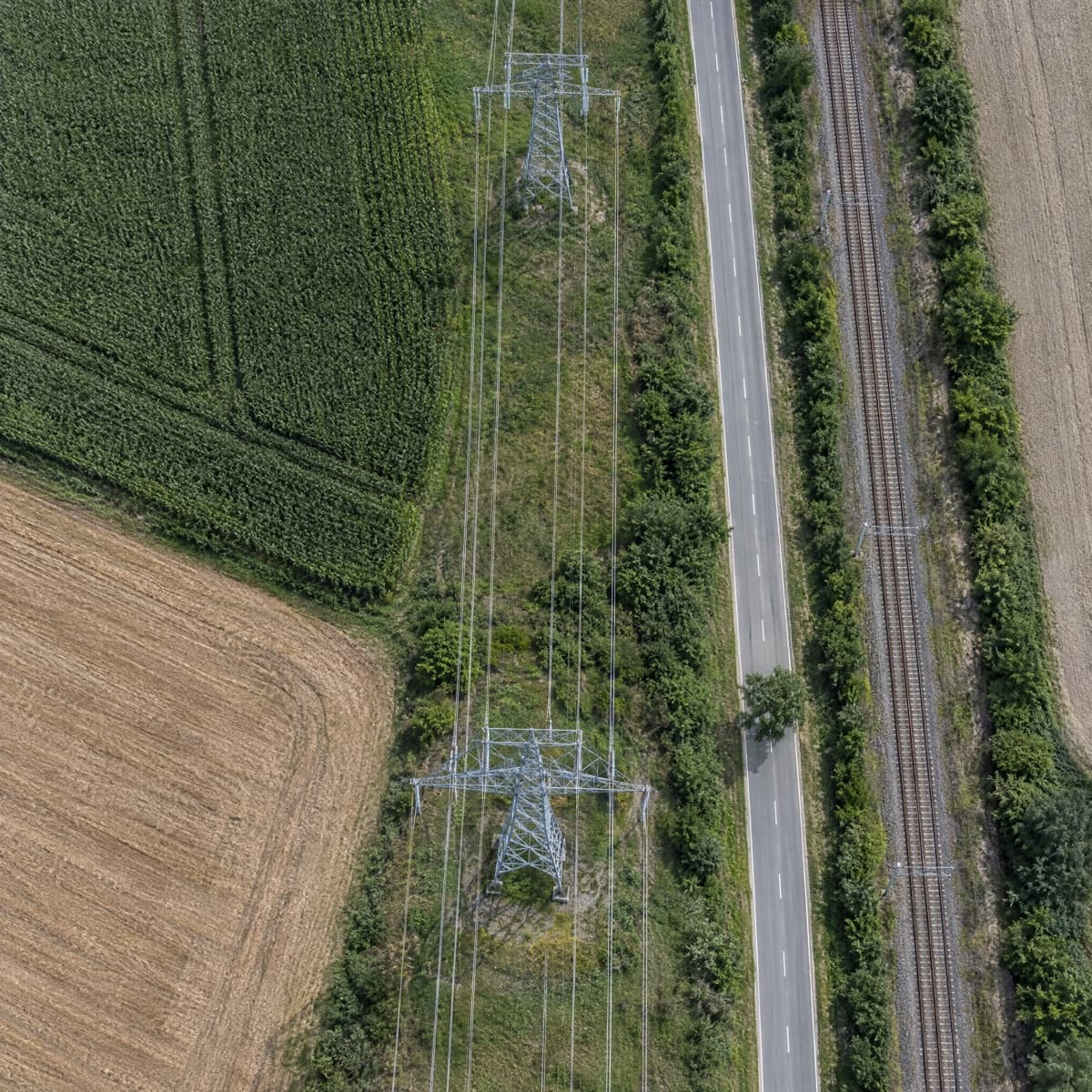
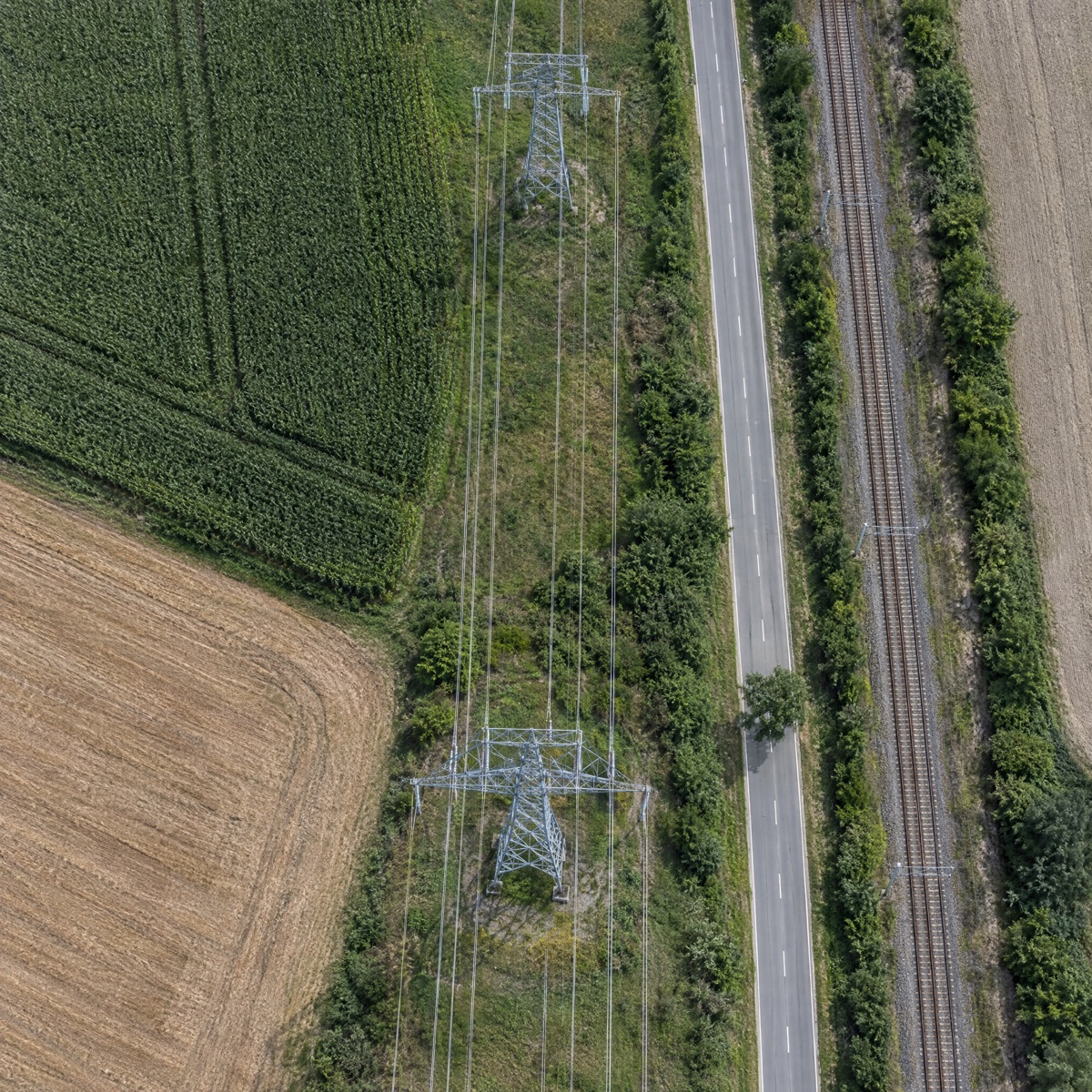
Trace roads, rail, power lines, and pipelines across whole networks.
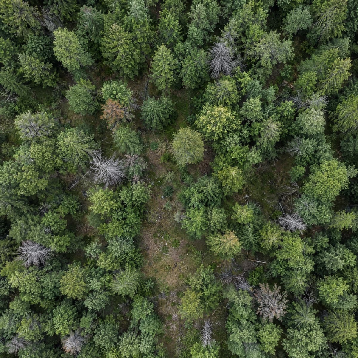
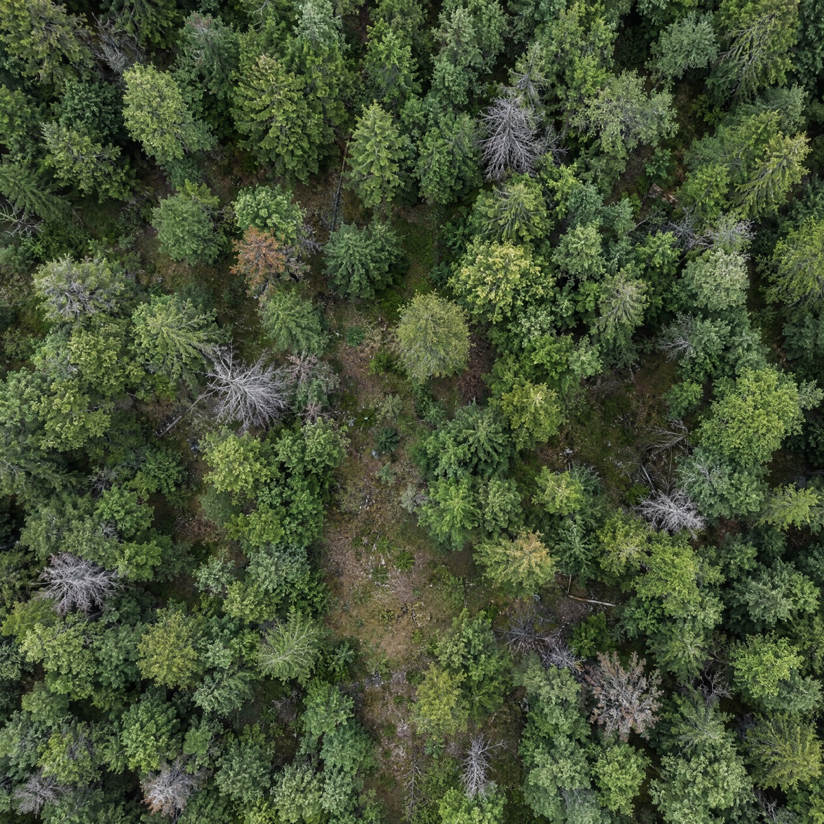
Count individual trees and map canopy across entire stands.
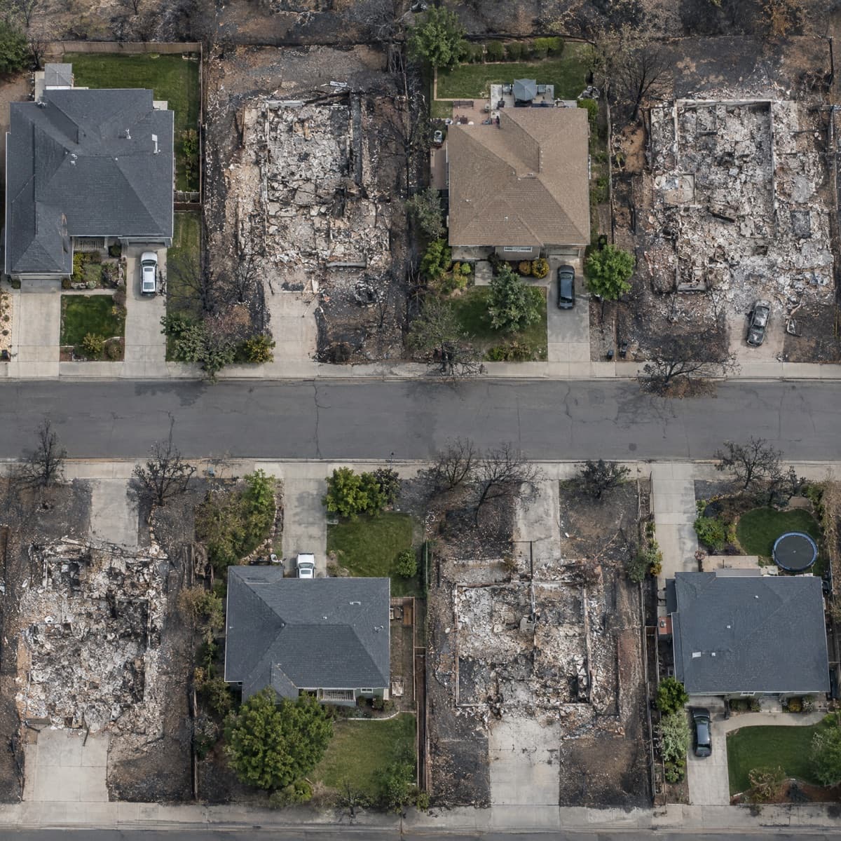
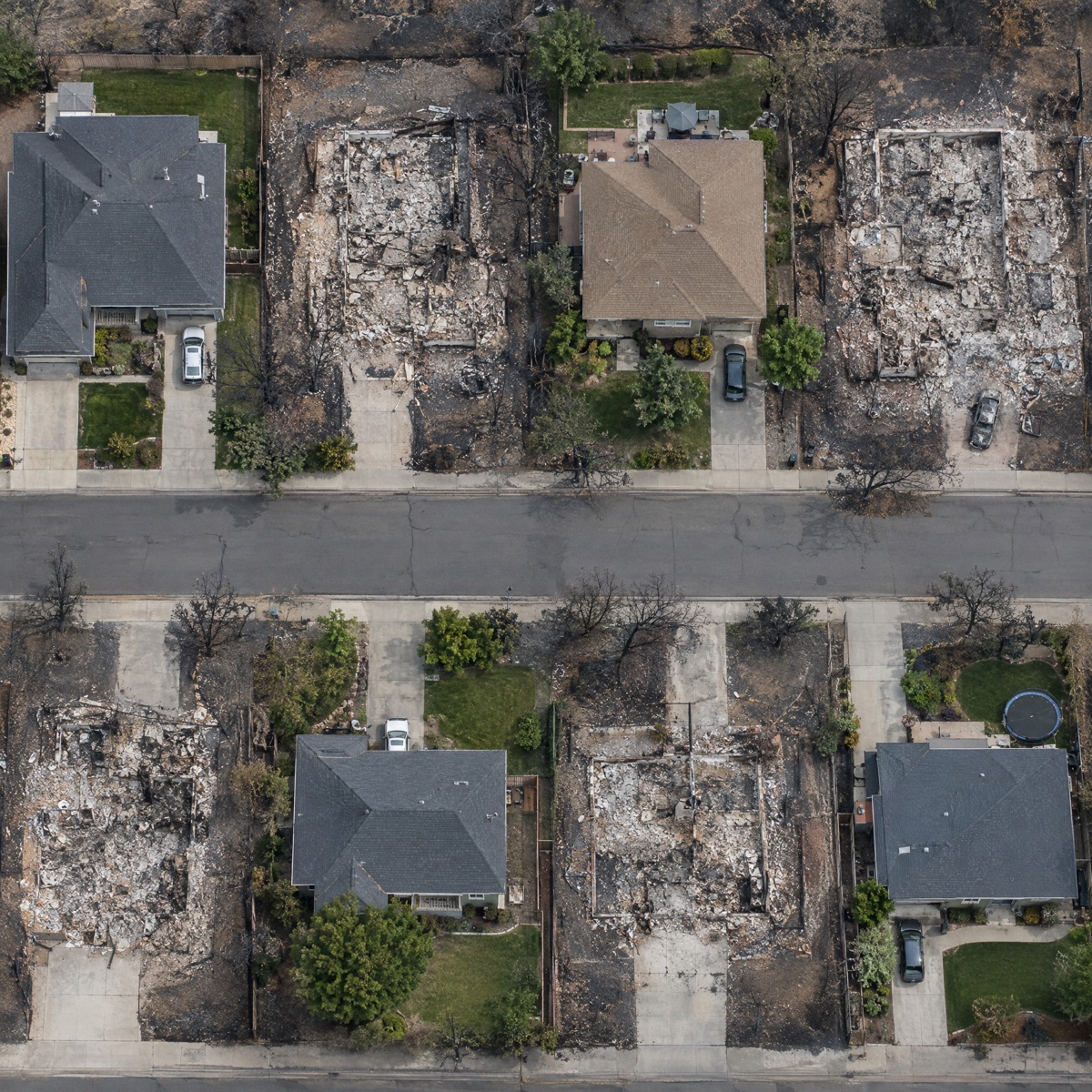
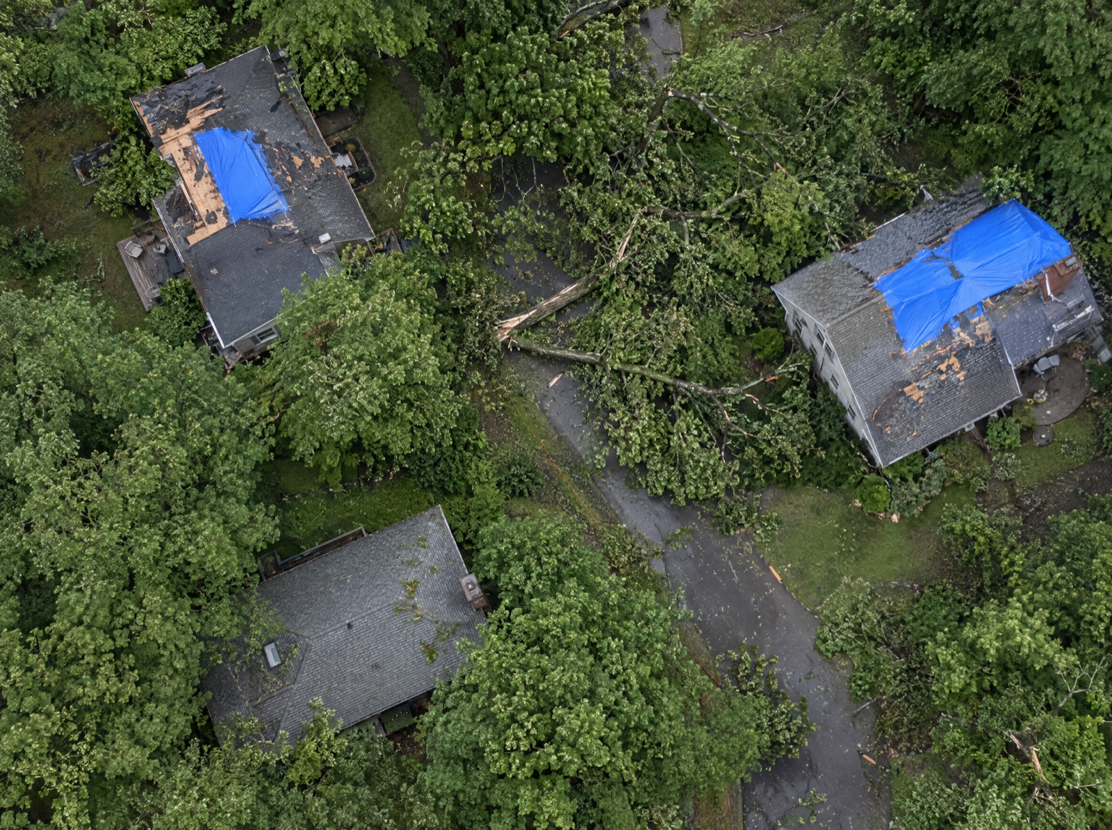
Compare captures over time to map damage after fires, floods, and storms.
Integrate Seamlessly
Connect your imagery archive, existing labels, and review stages as they are. Nothing to re-plumb.
Book a demoAccelerate Validation
AI pre-labels every tile. Your team or our experts fix what it misses.
Book a demo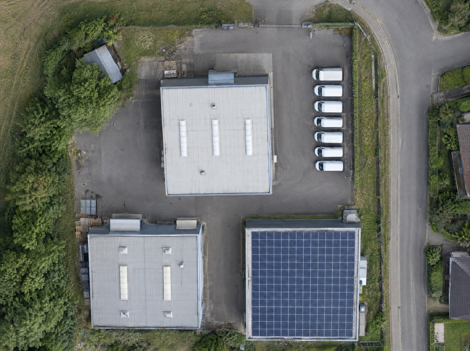
Ship with Confidence
Every job is scored against ground truth, so only clean data reaches training.
Book a demoMean annotation quality
98.4%
Target 95%
Honeypots
“We annotate forestry imagery to deliver world-class tree analysis worldwide, and CVAT has been key to making that possible at scale.”